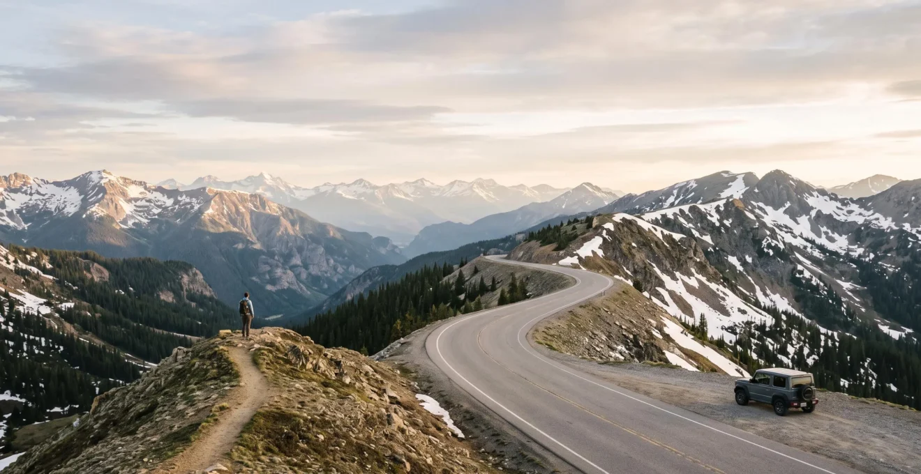
The secret to a successful mixed-activity Rockies road trip isn’t compromise; it’s creating a “convergent itinerary” where everyone shares the best moments, regardless of their activity level.
- Prioritize scenic hubs that offer both stunning drives and trailheads for all skill levels.
- Replace separate activities with plans where scenic drives and challenging hikes meet at the same epic viewpoint.
Recommendation: Shift your planning focus from “who does what activity” to “where do we all meet for the payoff view.”
Planning a group road trip through the Rockies presents a classic dilemma. One friend has their pack ready for a 10-mile trek to a remote alpine lake, while another would rather soak in the majestic views from the comfort of the car with a hot coffee in hand. This clash of travel styles often leads to one of two unsatisfying outcomes: the hikers feel held back on short, uninspiring trails, or the drivers feel like they’re just a shuttle service, waiting for hours at a trailhead. The common advice—to simply split up or alternate “hike days” with “drive days”—can leave the group feeling disconnected, experiencing the mountains separately rather than together.
But what if the solution wasn’t about forcing compromises or planning parallel vacations? What if the key to group harmony lies in a smarter, more strategic approach to itinerary building? The core principle is to stop thinking in terms of separate activities and start thinking in terms of shared destinations. It’s about designing a trip where the driver’s scenic route and the hiker’s challenging trail converge at the same spectacular payoff point. This method allows each person to choose their preferred level of effort while ensuring the group reconvenes to share the trip’s most memorable vistas.
This isn’t just about finding short walks; it’s about understanding the landscape to identify strategic “scenic hubs” that serve both interests. It requires a shift in mindset from dividing time to coordinating experiences. By focusing on the Effort-to-Vista Ratio—the scenic reward you get for the physical energy you expend—you can build a trip that feels both adventurous for the ambitious and accessible for the relaxed. This guide will provide a practical framework to design that perfectly balanced journey, ensuring that every member of your group goes home with shared memories of breathtaking landscapes, not just memories of waiting in the car.
This article provides a complete framework for organizing your journey, from choosing the right roads to ensuring everyone’s safety and comfort. The following sections break down the essential decisions and preparations for your trip.
Summary: A Balanced Itinerary for Mixed-Activity Groups in the Rockies
- Trail Ridge Road or Million Dollar Highway: which one offers the most breathtaking views?
- What to do in the Rockies if you can’t walk more than a mile (approx 2 km)?
- How to find an available campsite in the middle of July?
- The mistake of getting too close to a moose for a selfie that ends in the ER
- Where to fuel up and get groceries before entering remote areas of the Rockies?
- Why do freight trains have priority over passenger trains (and the delays it causes)?
- Undertaking: why is it legal and common to pass on the right on the Interstate?
- Is Amtrak Travel in the USA a Viable Alternative to Flying?
Trail Ridge Road or Million Dollar Highway: which one offers the most breathtaking views?
Choosing between Colorado’s iconic scenic drives is a fantastic problem to have, but the best choice for your group depends on more than just the views. It’s about matching the road’s character to your group’s comfort level. Both offer jaw-dropping scenery, but they provide vastly different driving and hiking experiences. Trail Ridge Road is a high-altitude cruise through alpine tundra, while the Million Dollar Highway is a white-knuckle drive etched into the side of sheer cliffs.
For a mixed-activity group, Trail Ridge Road is often the more versatile choice. It serves as a perfect scenic hub, with numerous pull-offs and trailheads. A government report confirms that Trail Ridge Road is the highest continuous paved road in the United States, climbing to 12,183 feet, and requires careful planning, including a timed-entry permit and awareness of potential altitude sickness. The road itself is a destination, with wide shoulders and guardrails that make the drive feel secure, allowing drivers to focus on the expansive vistas. For hikers, the road provides access to everything from short, paved tundra walks to strenuous summit climbs.
The Million Dollar Highway (part of US-550) is pure, raw drama. It connects the historic mining towns of Silverton and Ouray with steep drop-offs and very few guardrails. While undeniably spectacular, it can be terrifying for nervous drivers and offers fewer easy-access trailheads directly off the most challenging sections. The table below breaks down the key differences to help you decide.
| Criteria | Trail Ridge Road (Colorado) | Million Dollar Highway (US-550) |
|---|---|---|
| Access requirement | Timed-entry permit reservation required from 9 a.m. to 2 p.m. during the summer season | Free public highway, no permit needed |
| Peak elevation | Climbs to 12,183 feet, the highest continuous paved road in the US | Reaches over 11,000 feet at Red Mountain Pass |
| Seasonal closure | Officially closes for the season around mid-October | Open year-round (weather permitting) |
| Connects | Estes Park and Grand Lake | Historic mining towns of Silverton and Ouray |
| Driving challenge | Wide shoulders, guardrails in most sections, high-altitude weather shifts | Narrow lanes, steep drop-offs, few guardrails |
What to do in the Rockies if you can’t walk more than a mile (approx 2 km)?
The fear of being left out is a major concern for non-hikers on a Rockies trip. Fortunately, the region is packed with “low-effort, high-reward” experiences that deliver breathtaking scenery without requiring strenuous activity. The key is to shift the focus from trailheads to scenic drives, viewpoints, and accessible natural wonders. A convergent itinerary can be designed so that drivers enjoy these sights while hikers tackle a nearby trail, with everyone meeting up at a designated viewpoint.
Wildlife watching is a prime example. You don’t need to hike for miles to see iconic animals. Areas like Moraine Park in Rocky Mountain National Park or the grasslands of Yellowstone are famous for roadside sightings. In fact, one of the top road trip itineraries notes that the Centennial State has the largest elk population in the world, making a drive through the park feel like a self-guided safari. Keeping binoculars in the car is essential for everyone to get a close-up view from a safe distance.
Many of the most famous sights in the national parks are surprisingly accessible. Boardwalks, short paved paths, and drive-up overlooks are specifically designed to bring the spectacle to everyone. Here are a few outstanding options that require minimal walking:
- Old Faithful Geyser (Yellowstone): The famous eruption can be viewed from a large, flat boardwalk area just a short walk from the main visitor center and parking lot.
- Grand Prismatic Spring (Yellowstone): While the best view is from the elevated overlook (a short but steep walk), the ground-level boardwalk takes you right alongside the brilliantly colored hot spring with very little effort.
- Scenic Drives (Glacier & Yellowstone): The Going-to-the-Sun Road in Glacier and the main loop roads in Yellowstone are purpose-built for sightseeing from the car, with countless pull-offs for photo opportunities.
- Wildlife Loops: Driving through Yellowstone’s Lamar Valley or Hayden Valley at dawn or dusk almost guarantees sightings of bison, elk, and sometimes even bears or wolves, all from the safety of your vehicle.
How to find an available campsite in the middle of July?
Securing a campsite in the Rockies during the peak season of July feels like winning the lottery, but with the right strategy, it’s entirely possible. Spontaneity is the enemy here; advanced planning is non-negotiable. Most coveted campsites in National Parks like Rocky Mountain, Yellowstone, and Grand Teton are managed through the federal reservation system, Recreation.gov.
The most important rule is to know the booking window. Campsites typically become available on a rolling basis, six months in advance to the day. For a trip in mid-July, you need to be online and ready to book in mid-January. Popular sites can be gone in seconds, so create your account, have your preferred campgrounds and dates chosen, and be logged in at the exact moment the reservation window opens (usually 10 a.m. Eastern Time).
If you miss the six-month window, don’t despair. Here are two other effective strategies:
- Watch for Cancellations: People’s plans change. Check Recreation.gov frequently in the weeks and days leading up to your trip. Cancellations pop up all the time, but they are snapped up quickly. Setting up an alert on a third-party campsite availability service can give you an edge.
- Target First-Come, First-Served (FCFS) Campgrounds: Some campgrounds, especially those in National Forests or less-visited areas, reserve a portion or all of their sites for FCFS campers. To secure one, you cannot just show up on a Friday afternoon. Arrive early (ideally 8-9 a.m.) on a weekday (Tuesday or Wednesday is best) when people from the previous weekend are leaving. Scout for a ranger or campground host to learn the process.
Finally, your backup plan should always be dispersed camping. On public lands managed by the Bureau of Land Management (BLM) and the U.S. Forest Service, you can often camp for free in designated areas outside of established campgrounds. This requires being self-sufficient (no water, no restrooms), but it offers unparalleled solitude and is a reliable fallback when all else fails.
The mistake of getting too close to a moose for a selfie that ends in the ER
The desire to capture the perfect wildlife photo is understandable, but in the Rockies, it can lead to dangerous and entirely preventable encounters. Park rangers consistently report that most wildlife-related injuries are not from surprise attacks, but from visitors intentionally approaching animals. A frightening analysis by the National Park Service reveals that the majority (80%) of people hurt by bison actively approached the animal, ignoring clear safety regulations. This statistic holds true for other large animals like elk and moose, which may seem placid but can charge without warning if they feel threatened.
The “selfie” culture has made this problem worse, as people turn their backs on powerful, unpredictable animals to get a shot. An adult moose can weigh over 1,000 pounds and run at 35 mph. Treating one like a photo prop is a recipe for disaster. The designated trip photographer should use a telephoto lens, and the safest viewing is always from inside a hard-sided vehicle. To ensure your group’s safety, everyone must understand and respect the official park rules and use a simple field test for distance.
Your Wildlife Safety Checklist: Points to Verify
- Know the Distances: Commit to memory the official rule: stay at least 25 yards (23 m) away from all large animals like bison, elk, and moose. For predators like bears and wolves, that distance increases to at least 100 yards (91 m).
- Use the “Rule of Thumb” Test: Extend your arm and give the animal a “thumbs-up.” If you can’t cover the entire animal with your thumb, you are too close. It’s a simple, effective way to gauge distance without a measuring tape.
- Assess the Animal’s Behavior: If an animal stops eating, raises its head to stare at you, or paws at the ground, you have already entered its personal space. These are warning signs. Back away slowly.
- Never Get Between a Mother and Her Young: This is one of the most dangerous situations. Be extra vigilant in the spring and early summer when babies are present.
- Have an Escape Plan: Always be aware of your surroundings. Before you even start taking photos, identify a quick path to a vehicle or building in case an animal approaches unexpectedly.
Where to fuel up and get groceries before entering remote areas of the Rockies?
A successful Rockies road trip runs on two things: gasoline and snacks. Running low on either one in the vast, remote corridors of a national park can quickly turn an adventure into a stressful ordeal. Services inside the parks are sparse, expensive, and have limited hours. Therefore, treating “gateway towns” as your primary logistical anchors for resupply is a fundamental rule of Rockies travel planning.
Before you enter any major park, designate a town for a full-scale resupply mission. This is where you’ll find large, full-service supermarkets with better prices and selection, as well as gas stations that aren’t charging a premium. For example, before heading into Rocky Mountain National Park, Estes Park (east side) or Grand Lake (west side) are your last best stops. For the Grand Teton-Yellowstone corridor, Jackson, Wyoming is the major hub to the south, while Cody or Gardiner are key on the eastern and northern sides.
Beyond simply stocking up, a disciplined approach to resource management is essential. Here are the core principles to drill into your group:
- Adopt the “Half-Tank Rule”: This is a non-negotiable law of road-tripping. Never let your vehicle’s gas tank fall below the halfway mark before entering a park or a long, remote highway. A stretch of road that looks short on a map can take hours with traffic or wildlife jams, and you don’t want to be sweating your fuel gauge.
- Plan a “Pantry Tier” System: Do your main grocery shopping for multiple days in a gateway town supermarket. The small general stores inside the parks should be treated as your emergency “pantry”—for topping up on essentials like milk, bread, or a forgotten item, not for a full week’s worth of meals.
- Carry a Cooler: A good quality cooler is not a luxury; it’s essential equipment. It allows you to stock up on perishable items, make your own lunches for trailheads (saving time and money), and have cold drinks ready after a long hike.
- Water is Paramount: Assume you will need more water than you think, especially at high altitudes. Buy large multi-gallon jugs at the supermarket to refill everyone’s personal water bottles each morning, rather than relying on expensive single-use plastic bottles.
Why do freight trains have priority over passenger trains (and the delays it causes)?
For anyone considering a scenic train journey through the Rockies, the notorious delays of Amtrak can be a major deterrent. It’s a common frustration to find your passenger train sitting idle on a siding while a mile-long freight train rumbles past. This often leads travelers to assume that freight legally has the right-of-way, but the reality is more complicated and frustrating.
The core of the issue is ownership. In the United States, most of the rail infrastructure is privately owned by freight railroad companies (like BNSF and Union Pacific). Amtrak, the national passenger rail corporation, operates as a tenant on these tracks. While a 1973 law grants Amtrak trains priority over freight trains, the enforcement of this law has been historically weak. The freight companies that own, operate, and dispatch trains on the tracks have a financial incentive to prioritize their own cargo, leading to frequent and significant delays for passengers.
This situation has been a long-standing point of contention for passenger rail advocates. As one expert starkly puts it, the problem isn’t the law itself, but the lack of consequences for breaking it. Sean Jeans-Gail of the Rail Passengers Association explained the dynamic in an interview with KUOW:
“Amtrak is given priority dispatching preference, and the freights have been violating that with impunity for the last decade.”
– Sean Jeans-Gail, Rail Passengers Association, quoted in KUOW
For a traveler, this means you must factor in a high probability of delays when planning an Amtrak trip, especially on long-distance routes like the California Zephyr, which crosses the Rockies. The train journey should be viewed as part of the vacation itself, not just as a means of getting from A to B on a tight schedule.
Undertaking: why is it legal and common to pass on the right on the Interstate?
For many international visitors, and even some Americans from states with stricter rules, one of the most jarring aspects of driving on a multi-lane Interstate is seeing cars routinely pass on the right. This practice, often called “undertaking,” is illegal and considered highly dangerous in many parts of the world. However, in the vast majority of U.S. states, it is perfectly legal and has become a common, if sometimes unnerving, feature of highway driving.
The legality stems from how traffic laws are written. Most state vehicle codes permit passing on the right when there are two or more lanes of traffic moving in the same direction, provided it can be done safely. The law places the onus on the passing driver to ensure there is sufficient room and that they do not have to leave the paved surface of the road to do so. This is a significant departure from the strict “keep right unless overtaking” rule common in Europe.
But why is it so common? The practice is a direct consequence of another widespread, albeit improper, driving habit: “left-lane camping.” Highway etiquette and, in many states, the law dictates that the leftmost lane is intended for passing only. Drivers are expected to move back to the right after completing an overtake. However, countless drivers treat the left lane as a personal cruising lane, traveling at or even below the speed of traffic and refusing to move over. This effectively creates a rolling roadblock, leaving faster-moving traffic with no choice but to undertake on the right to get by.
For a group on a road trip, understanding this dynamic is crucial for defensive driving. Always be aware of vehicles approaching from behind in any lane. When changing lanes to the right, it’s essential to check your blind spot not just for slower traffic, but for cars that may be in the process of undertaking you. As the driver, your best practice is to adhere to the “keep right except to pass” principle yourself, which is the safest position on any Interstate.
Key Takeaways
- The best road trips for mixed groups are built on “convergent itineraries,” where different activities lead to shared viewpoints.
- Evaluate all activities based on their “Effort-to-Vista Ratio” to find options that appeal to both hikers and drivers.
- Use gateway towns as “logistical anchors” for all major resupply needs, and follow the Half-Tank Rule for fuel.
Is Amtrak Travel in the USA a Viable Alternative to Flying?
For a trip through the Rockies, swapping a flight for an Amtrak journey sounds romantic, trading airport stress for scenic vistas from a comfortable seat. But whether it’s a “viable” alternative depends entirely on your most valuable resource: time. If your vacation is about the journey itself and you have a flexible schedule, train travel can be a magnificent experience. If you need to be somewhere on a specific day and time, it is a significant gamble.
The primary issue is reliability. As discussed, Amtrak’s long-distance routes are plagued by delays. The company’s own data paints a stark picture for time-crunched travelers. For those weighing a flight against a train, the performance metrics show that the on-time performance of all long-distance routes in 2024 has not met the FRA’s 80% on-time standard. This means a delay is not just a possibility; it’s a probability. A three-hour delay can be a minor inconvenience on a multi-day journey but catastrophic if it causes you to miss a connection or a pre-booked activity.
However, judging Amtrak by the standards of air travel misses the point. The value of the train isn’t speed or punctuality; it’s the experience. You get to see the country unfold at a human pace, passing through landscapes inaccessible by car. There’s more legroom, you can walk around, and the large windows offer a continuous panorama of the American West. For a group, it can be a more social and relaxed way to travel between major hubs, like Denver and Salt Lake City on the California Zephyr.
Ultimately, Amtrak is not a direct replacement for flying. It is a different mode of travel altogether. It is viable as a scenic, unhurried tour, but as a time-efficient method of transportation, it falls short. The best approach is to treat the train ride as an integral part of your vacation—a rolling hotel with an ever-changing, world-class view—rather than just a way to get from point A to B.
To put these principles into practice, the next step is to map out your group’s “scenic hubs” and start building your convergent itinerary, ensuring a memorable trip for everyone.